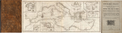
The English pilot. Part III: Describing the Sea-coasts, Capes,... MOUNT & PAGE Code: VR43EN Measures: - x - mm Year: 1781 Printed: London Price €11,500.00 Quick view View Details
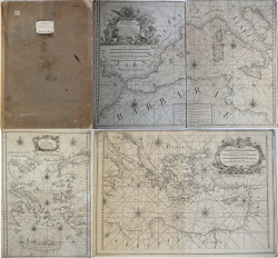
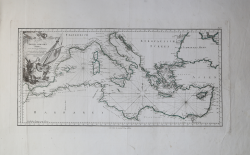
[Atlante nautico del Mediterraneo] François Olivier Code: VR62FR Measures: - x - mm Year: 1782 Printed: Toulone Price €7,500.00 Quick view View Details
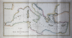
Carte de la Mer Mèditerranée 1785 Dépôt des cartes et plans de la Marine Code: VR66FR Measures: 1070 x 545 mm Year: 1785 Printed: Paris Price €700.00 Quick view View Details
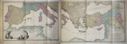
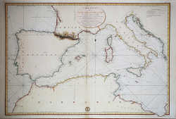
A Map of the Mediterranean Sea with the Adjacent Regions and Seas... William FADEN Code: VR76 Measures: 1680 x 615 mm Year: 1785 Printed: London Price €800.00 Quick view View Details
Karte des Mittelaendischen Meers Franz Anton SCHRAEMBL Code: VR69GE Measures: 665 x 535 mm Year: 1787 Printed: Wien Price €500.00 Quick view View Details
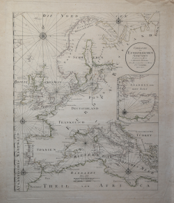
Ubersicht der Europaeischen Seekusten Verfasst von Herrn Carington... Franz Anton SCHRAEMBL Code: VR68GE Measures: 490 x 600 mm Year: 1791 Printed: Wien Price €500.00 Quick view View Details
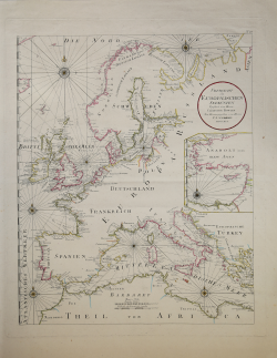
Ubersicht der Europaeischen Seekusten Franz Anton SCHRAEMBL Code: S14029 Measures: 535 x 665 mm Year: 1791 Printed: Wien Price €350.00 Quick view View Details
Carte Reduite de la Mer Mediterranee et de la Mer Noire... Dépôt des cartes et plans de la Marine Code: MS6647 Measures: 910 x 620 mm Year: 1821 Price €500.00 Quick view View Details
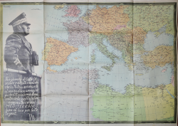
Il Mediterraneo con grande figura del Duce Istituto Geografico Visceglia Code: S45920 Measures: 970 x 690 mm Year: 1940 Printed: Rome Price €250.00 Quick view View Details
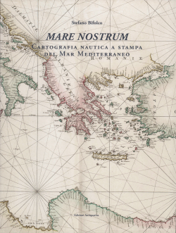
MARE NOSTRUM Stefano Bifolco Code: S46250 Measures: 240 x 320 mm Year: 2019 Printed: Rome Price €100.00 Quick view View Details