| Reference: | S46250 |
| Author | Stefano Bifolco |
| Year: | 2019 |
| Zone: | Mediterranean Sea |
| Printed: | Rome |
| Measures: | 240 x 320 mm |
| Reference: | S46250 |
| Author | Stefano Bifolco |
| Year: | 2019 |
| Zone: | Mediterranean Sea |
| Printed: | Rome |
| Measures: | 240 x 320 mm |
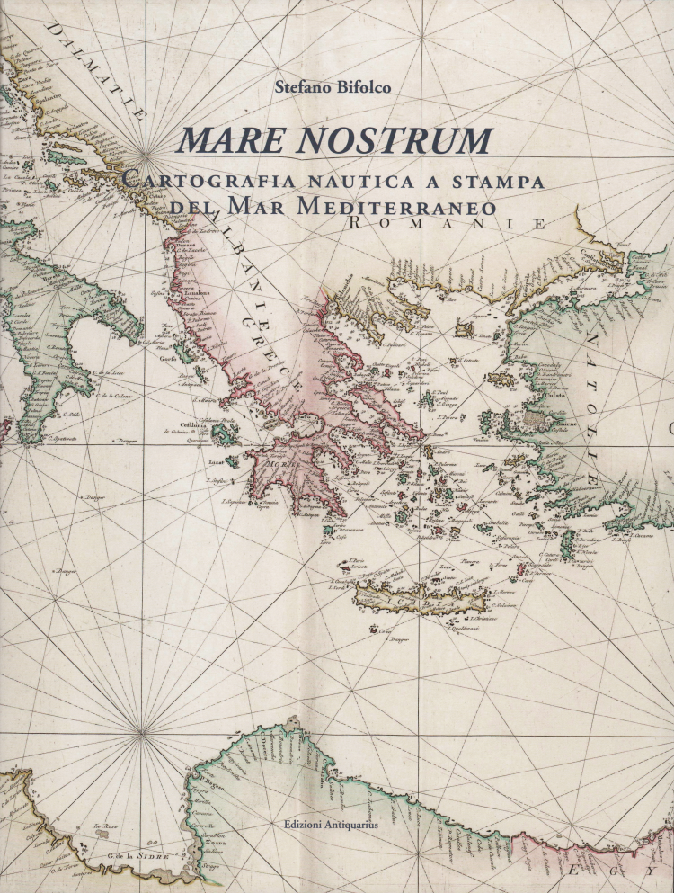
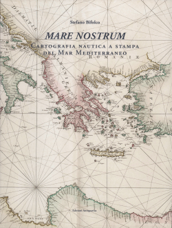
Title: MARE NOSTRUM. Cartografia nautica a stampa del Mar Mediterraneo
Author: Stefano Bifolco
Publisher: Edizioni Antiquarius
Language: Italian
Date: December, 2019
Hardcover: One volume, 304 pages, printed in colour on R4 Next Satin 150g paper from Cartiere Burgo, 32x24cm format, hard cover with dust jacket.
ISBN: 978-88-9909376-3-7
Limited Edition: 250 numbered copies have been printed.
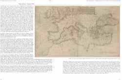
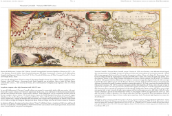
The nautical cartography of the Mediterranean is a subject as fascinating as it’s complex. Nautical charts came into use on sailing vessels in the Mediterranean basin toward the end of the 13th century, coinciding with much broader seafaring activity and exploration. These charts supplemented the written instructions, or portolanos, which had been used for several centuries. Portolan charts are highly realistic medieval charts that show remarkably accurate coastlines of the Mediterranean and the Black Sea. They emerged suddenly in Italy without any predecessors or a clear developmental path during the thirteenth century. Portolan charts are far superior to the contemporary mappaemundi. Moreover, the nautical maps had first of all a practical function – they were used on ships for navigation, but also for the construction of the first coherent image of the whole world. They were the most important source of geographical information during a period when the world was being discovered, explored and mapped by Europeans; and they were also decorative objects. The earliest nautical documents are Italian manuscripts such as the Carta Pisana (1275-1280) and Lo Compasso de Navigare, as is also Italian the first nautical printed work, L'Isolario by Bartolomeo dalli Sonetti, published in Venice in 1485.
With the advent of the printing press, the manuscript chart - the portolan, was not abandoned; indeed it survived until the seventeenth century. Italy, Holland, England and France were the main centres of nautical print production, as a result of trading and exploration which had developed more consistently. There are many studies on the earliest manuscripts and printed charts, but are focused on single production centres or "schools", or on a specific chronological period. To date, there is not an overall study that traces the history of printed charts throughout the centuries. I personally took note of this gap when an impressive collection of about one hundred splendid Mediterranean charts, published between 16th and 18th centuries, was presented to me.
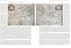
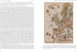
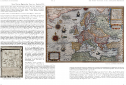
The idea of this publication, therefore, stems from the need to fill the gap providing a catalogue with an overall view of the nautical printed cartography production of the Mediterranean. Naturally, given the vastness of the subject, I had to establish the chronological terms and, within these, make a selection related to the area represented on the charts. I therefore chose to include only the general maps in the catalogue, i.e. those that represent the entire Mediterranean basin and not the partial ones of the Adriatic, the Tyrrhenian and the Aegean Seas. However, some charts, especially the Dutch ones, are often cut to the east. Hence, the catalogue begins with Benedetto Bordone’s chart of 1528 and ends with Giovanni Fileti’s work of 1802. More than 134 printed charts are examined and described during this timeframe (1528-1802). The starting point, the mentioned collection, has thus been expanded to include the known charts in one or few examples, maintained in libraries and museums around the world. The works examined have been divided by the “school” of production: the Italian school is followed by the Dutch, then the English one and lastly, the French school. Within each school, the charts are presented in chronological order and not by cartographic model, as initially hypothesized, especially for the Dutch charts, which make up the main section of the catalogue.
For each chart there is a physical description with the pertinent information - where known - of the different states and editions. There is also a biographical note of the engraver, the publisher or both figures, and in the case of a chart published into atlases or nautical guides, a reference to the general work that it contains.
"Mare Nostrum is a cartobibliography of printed nautical charts of the Mediterranean Sea. Its author, map dealer Stefano Bifolco, got the idea of writing this book after acquiring a large collection of around a hundred such charts for his shop. He then realised that, while manuscript and printed charts have sometimes been studied locally, for a single centre of production or school, an overall study was missing. [...].
Overall, Stefano Bifolco’s book is a welcome addition to the scholarship on the relatively neglected intersection between nautical cartography and print publishing. It will be of immediate use to map collectors and researchers, and a pleasant experience for general amateurs of early modern maps". [Luis A. Robles-Macias, "Maps in History", n. 67 - maggio 2020].
Stefano Bifolco
Stefano Bifolco