Raccolta di le più illustri et famose città di tutto il mondo Francesco VALEGIO Code: 4523 Measures: - x - mm Year: 1585 Price €22,000.00 Quick view View Details
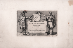
Varie Antiquitates Romanae Sive Ruinae ad Vivum Delineatae Claes Jansz. VISSCHER Code: S45340 Measures: 295 x 200 mm Year: 1618 Printed: Antwerpen Price €2,500.00 Quick view View Details
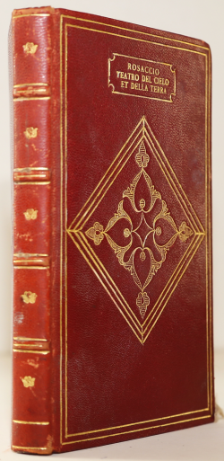
Universale discrittione del teatro del cielo, et della terra Giuseppe ROSACCIO Code: S0079 Measures: 100 x 155 mm Year: 1629 Price €2,600.00 Quick view View Details
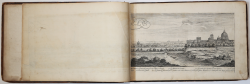
(Set of different Views ) Israel SILVESTRE Code: S0082 Measures: 380 x 245 mm Year: 1650 ca. Price €5,500.00 Quick view View Details
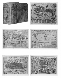
Theatrum Civitatum et Admirandorum Italiae ad aevi veteris &... Johannes BLAEU Code: 4208 Measures: - x - mm Year: 1663 Price €15,000.00 Quick view View Details
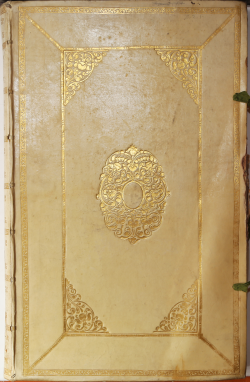
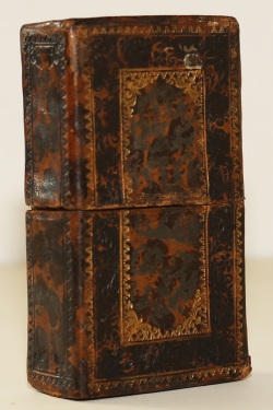
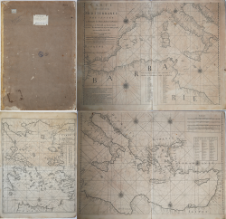
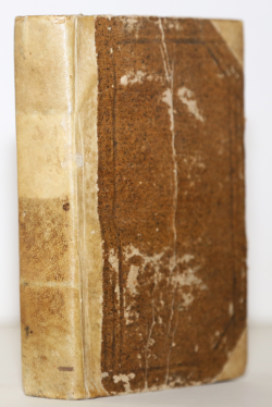
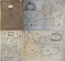
Prima parte dello specchio del mare nel quale si descrivono tutti... Francesco Maria LEVANTO Code: VR35IT Measures: - x - mm Year: 1664 Printed: Genua Price €24,000.00 Quick view View Details
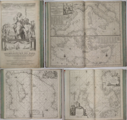
Della nuova, e grande illuminante Face del Mare parte terza,... Johannes VAN KEULEN Code: 4846 Measures: - x - mm Year: 1705 Call Us Quick view View Details
Old Testament playing-cards Antonio Visentini Code: S0067 Measures: 60 x 110 mm Year: 1748 ca. Price €10,000.00 Quick view View Details
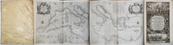
[Atlante nautico del Mediterraneo] Joseph ROUX Code: VR59FR Measures: - x - mm Year: 1750 ca. Printed: Marsiglia Price €7,500.00 Quick view View Details
Nuovo Atlante Portatile ovvero Metodo facile per apprendere in... Giammaria Bassaglia Code: S0083 Measures: 115 x 160 mm Year: 1777 Price €1,000.00 Quick view View Details
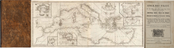
The English pilot. Part III: Describing the Sea-coasts, Capes,... MOUNT & PAGE Code: VR43EN Measures: - x - mm Year: 1781 Printed: London Price €11,500.00 Quick view View Details
[Atlante nautico del Mediterraneo] François Olivier Code: VR62FR Measures: - x - mm Year: 1782 Printed: Toulone Price €7,500.00 Quick view View Details
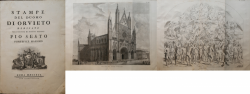
Stampe del Duomo di Orvieto dedicate alla Santità di Nostro Signore... A.A. V.V. Code: S30000 Measures: - x - mm Year: 1800 Price €2,300.00 Quick view View Details
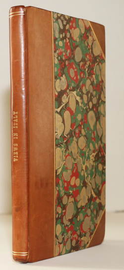
Views in Italy, during a journey in the years 1815 and 1816 Herman Friedländer Code: S0068 Measures: - x - mm Year: 1821 Price €150.00 Quick view View Details
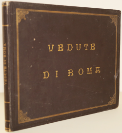
Raccolta delle Principali Vedute di Roma disegnate dal vero e... Domenico AMICI Code: S0075 Measures: 340 x 280 mm Year: 1835 Price €1,000.00 Quick view View Details
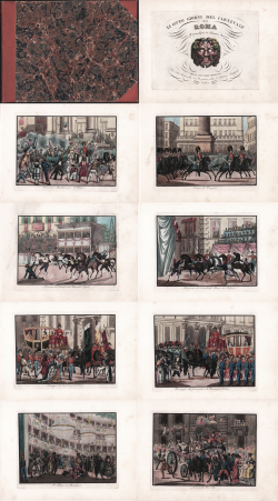
Li otto giorni del Carnevale di Roma, Incisi all’acquaforte da... Salvatore MARRONI Code: 38164 Measures: - x - mm Year: 1835 Price €2,800.00 Quick view View Details
Costumi degli ordini religiosi Angelo BERTINI Code: S0076 Measures: - x - mm Year: 1848 Price €300.00 Quick view View Details
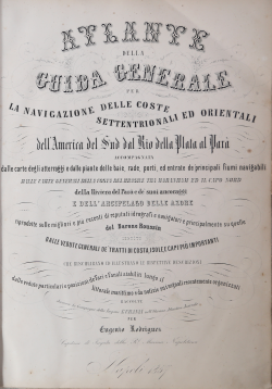
Guida generale della navigazione per le coste settentrionali ed... Eugenio RODRIGUEZ Code: S0066 Measures: 325 x 455 mm Year: 1857 Price €2,900.00 Quick view View Details
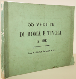
Vedute Antiche e Moderne della Città di Roma, e sue vicinanze Augusto Volpari Code: S39682 Measures: 360 x 270 mm Year: 1870 Price €900.00 Quick view View Details
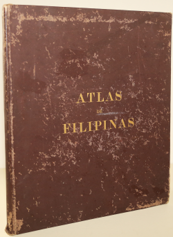
Atlas of the Philippine Islands José Maria Algué Code: S0071 Measures: 335 x 385 mm Year: 1900 Price €900.00 Quick view View Details