| Reference: | S37838 |
| Author | Franz RAFFELSPERGER |
| Year: | 1843 ca. |
| Zone: | Tyrol |
| Printed: | Wien |
| Measures: | 550 x 430 mm |
| Reference: | S37838 |
| Author | Franz RAFFELSPERGER |
| Year: | 1843 ca. |
| Zone: | Tyrol |
| Printed: | Wien |
| Measures: | 550 x 430 mm |
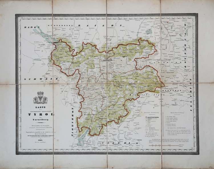
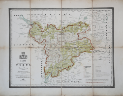
Color lithograph by Franz Raffelsberger from the first typographic atlas by J. Bermann and his son, printed in Vienna around 1850.
Shows the county of Tyrol with the Austrian Confederate state of Vorarlberg.
At the bottom left, the title and a coat. At the bottom the legend.
Paper on linen. Rara.
Franz RAFFELSPERGER (1793-1861)
|
Geographer, cartographer and postal service official. Son of a landowner and merchant, he became in the years 1820-1849 official of the postal service. From about 1835 it deals with cartographic typography (typometry). From 1836 to 1837, he worked on a general postal and railway mapping of the Austrian Empire.
|