| Reference: | S27077 |
| Author | Yves GRAVIER |
| Year: | 1784 |
| Zone: | Liguria |
| Printed: | Genua |
| Measures: | 1840 x 1070 mm |
| Reference: | S27077 |
| Author | Yves GRAVIER |
| Year: | 1784 |
| Zone: | Liguria |
| Printed: | Genua |
| Measures: | 1840 x 1070 mm |
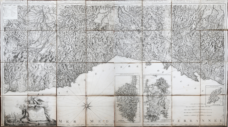
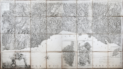
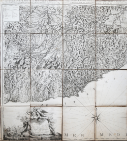
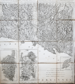
Etching and engraving, 1784, signed lower left. Beautiful example, printed on four large sheets of contemporary laid virgin paper, cut into segments, applied to canvas and folded several times. In excellent condition.
Gravier's wall map of Liguria is a variant of the map published in London by Andrew Dury and William Faden in 1764/5. As announced in the title of both maps, which moreover is repeated in four different languages, the map is derived from that of Joseph Chaffrion, Milan 1685. Compared to Chaffrion's original, the Dury and Gravier versions bear in the sea two cartouches with detailed maps of Corsica and Sardinia, not described by the bibliographies of Piloni and Cervoni.
The Gravier map, probably made from the Dury plate, from which variations are made, is dedicated to citizen Michel Angelo Cambiaso by the printer.
The cartouche with the title and dedication is slightly varied in its ornamental motifs; at the lower right, there is another added cartouche with a detail of the island of Capraia.
Yves Gravier, also known by his Italianized name of Ivone, was a French-born bookseller and publisher, probably from Marseille, active in Genoa between 1780 and 1801 "...sous la loge de Banchi." Best known for publishing Italian editions of the works of maritime cartographer Joseph Roux.
Very rare and decorative map.
|
AA.VV La Liguria nelle carte e nelle vedute antiche, pp. 140/141 (la carta del Dury).
|
Yves GRAVIER(attivo a Genova 1780-1801)
|
AA.VV La Liguria nelle carte e nelle vedute antiche, pp. 140/141 (la carta del Dury).
|
Yves GRAVIER(attivo a Genova 1780-1801)