
- New
| Reference: | A54569 |
| Author | Franz Johann von REILLY |
| Year: | 1791 ca. |
| Zone: | Histria |
| Printed: | Wien |
| Measures: | 350 x 600 mm |
| Reference: | A54569 |
| Author | Franz Johann von REILLY |
| Year: | 1791 ca. |
| Zone: | Histria |
| Printed: | Wien |
| Measures: | 350 x 600 mm |
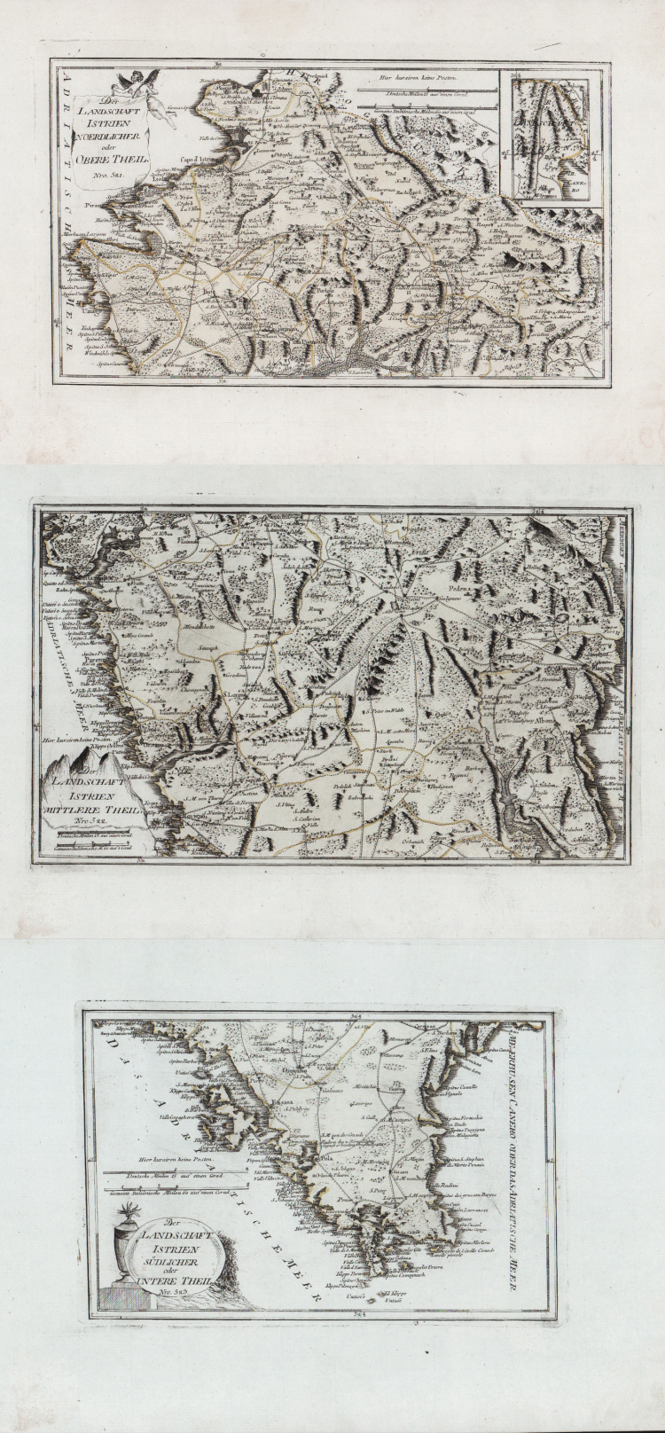
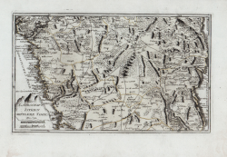
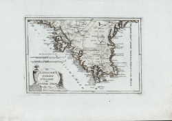
A triptych of maps offering a highly detailed, precise rendering of the entire Istrian peninsula as it appeared in the late 18th century. The three sheets originate from the celebrated work *Schauplatz der Welt* (The Theatre of the World), published in Vienna starting in 1789, a monumental atlas renowned for the elegance of its engravings and the accuracy of its geographical detail.
The set comprises three complementary sections designed to be displayed or preserved together to reconstruct the region's full geographical extent:
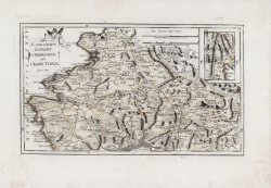
*Istrien Noerdlicher* (Northern Part): covers the upper coastal area, highlighting the terrain, the administrative boundaries of the time, and historical transport routes.
*Istrien Mittlerer Theil* (Central Part): depicts the heart of the peninsula, featuring a dense network of villages, rivers, and the topographical details of the interior landscape.
*Istrien Südlicher oder untere Theil* (Southern Part): shows the tip of the peninsula; the lower-left section is enhanced by an elegant decorative cartouche—executed in a characteristic late Baroque/Neoclassical style—displaying the author's publication details.
Published in Vienna by Franz Johann Joseph von Reilly in Schauplatz der fünf Theile der Welt mit beständiger Rücksicht auf die besten Originalwerke in drey Theile zusammengetragen von einer Gesselschaft Geographen nach zu Büschings Grosser Erdbeschreibung.
Reilly (1766-1820) published the Atlas at the rate of one map per week for 17 years from June 1789 to July 1806, producing, in total, some 830 maps of Europe. A third part of the atlas was planned to cover the rest of the world but was never published.
As can be deduced from the title of the Atlas in which the map was first published, the author of the drawing was the German cartographer Anton Friederich Büschings and the engraver was Ignaz Albrecht. The Atlas was published by the Viennese art dealer Franz Johann Joseph von Reilly (1766-1820) who produced at least 830 maps between 1789 and 1806 - right in the period of the Napoleonic campaigns, when the borders were rather labile - and those concerning Italy were published between August 1797 and June 1799.
Etching, printed on blue paper and with editorial coloring, in excellent condition.
Three sheets of 355x225, 365x220, 285x190 mm.
Franz Johann von REILLY (Vienna 1766 - 1820)
|
He was a Viennese art dealer who in his early twenties turned to map publishing, and between the years 1789 and 1806 produced a total of no less than 830 maps. His Schauplatz…der Welt (World Atlas) in fact covered only maps of Europe, whilst the Grosser Deutscher Atlas also included maps of other continents and was, therefore, the first World Atlas produced by an Austrian.
1789-1806 Schauplatz der funf Theile der Welt
1794-96 Grosser Deutscher Atlas
|