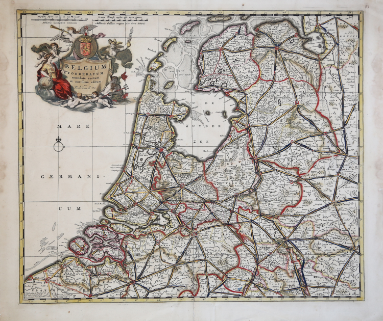
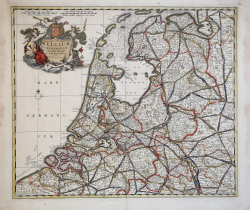
| Reference: | S5036 |
| Author | Frederick de WIT |
| Year: | 1680 ca. |
| Zone: | Holland |
| Printed: | Amsterdam |
| Measures: | 560 x 480 mm |
| Reference: | S5036 |
| Author | Frederick de WIT |
| Year: | 1680 ca. |
| Zone: | Holland |
| Printed: | Amsterdam |
| Measures: | 560 x 480 mm |
Fine detailed map of the area of the modern Netherlands less the southern part of Limburg.
Title cartouche representing the commerce, the arts and the sciences.
The Lion of the Netherlands and compass-rose and rhumb-lines below the cartouche.
Taken from the “Atlas Major”.
Copperplate with contemporary hand colour, in good conditions.
Frederick de WIT (1630 - 1706)
|
De Wit was one of the most prominent and successful map engravers and publishers in Amsterdam in the period following the decline of the Blaeu and Jansson establishments, from which he acquired many copper plates when they were dispersed at auction. His output covered most aspects of map making: sea charts, world atlases, an atlas of the Netherlands, 'town books' covering plans of towns and cities in the Netherlands and Europe, and wall maps. His work, notable for the beauty of the engraving and colouring, was very popular and editions were issued many years after his death by Pieter Mortier and Covens and Mortier.
|