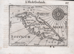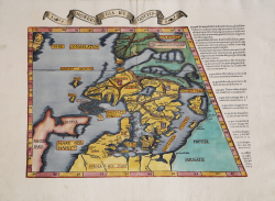

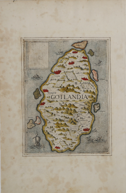
La Description de Gotthie ou de Gottlande
Sebastian Münster
Code:
S48027
Measures:
135 x 98 mm
Year:
1552
Printed:
Basle
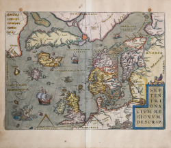
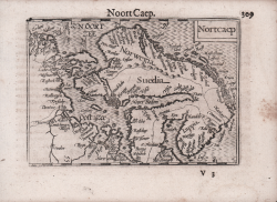
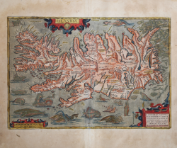
Septentrionalium Regionum Descrip[tio]
Abraham ORTELIUS
Code:
S46073
Measures:
490 x 365 mm
Year:
1570 ca.
Printed:
Antwerpen
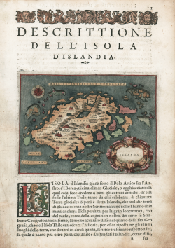
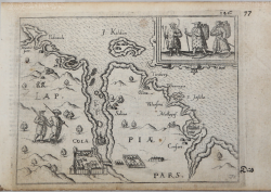
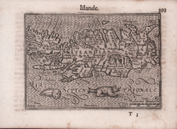
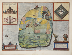
Descrittione dell'isola d'Islanda
Tommaso PORCACCHI
Code:
S45122
Measures:
150 x 110 mm
Year:
1572 ca.
Printed:
Venice
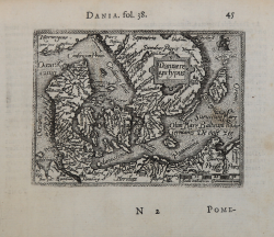
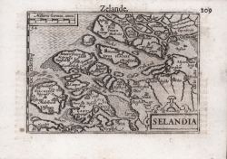
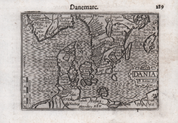
Daniae Regni typus
Abraham ORTELIUS - Philip GALLE
Code:
s33927
Measures:
107 x 80 mm
Year:
1577 ca.
Printed:
Antwerpen
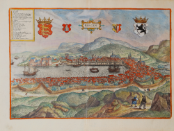
Bergen
Georg BRAUN & Franz HOGENBERG
Code:
S49238.208
Measures:
475 x 325 mm
Year:
1581 ca.
Printed:
Antwerpen & Cologne
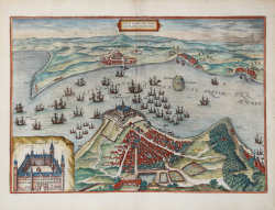
Tipographia Insulae Huenae in celebri porthmo Daniae, quem Vulgo...
Georg BRAUN & Franz HOGENBERG
Code:
S49238.55
Measures:
480 x 34 mm
Year:
1588
Printed:
Antwerpen & Cologne
Freti Danici or sundt Accuratiss Delineatio
Georg BRAUN & Franz HOGENBERG
Code:
S49238.150
Measures:
477 x 330 mm
Year:
1588 ca.
Printed:
Antwerpen & Cologne
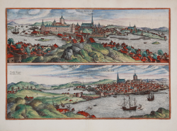
Stockholm / Stocholm
Georg BRAUN & Franz HOGENBERG
Code:
S49238.34
Measures:
470 x 325 mm
Year:
1588 ca.
Printed:
Antwerpen & Cologne
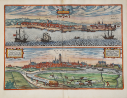
Elsenor / Ripen
Georg BRAUN & Franz HOGENBERG
Code:
S49238.171
Measures:
475 x 340 mm
Year:
1597 ca.
Printed:
Antwerpen & Cologne
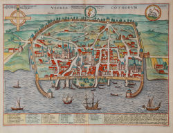
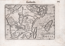
Visbia Gothorum
Georg BRAUN & Franz HOGENBERG
Code:
S49238.172
Measures:
492 x 365 mm
Year:
1597 ca.
Printed:
Antwerpen & Cologne