| Reference: | VR86 |
| Author | Henrick SCHERER |
| Year: | 1700 |
| Zone: | Mediterranean Sea |
| Printed: | Nurnberg |
| Measures: | 350 x 235 mm |
| Reference: | VR86 |
| Author | Henrick SCHERER |
| Year: | 1700 |
| Zone: | Mediterranean Sea |
| Printed: | Nurnberg |
| Measures: | 350 x 235 mm |
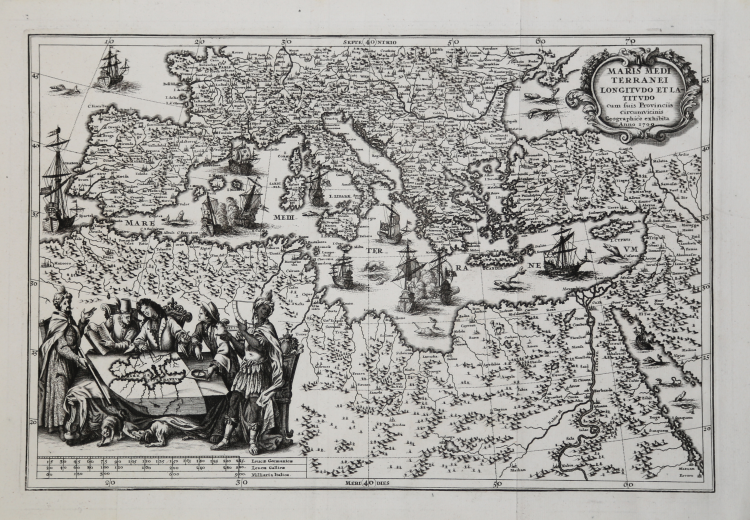
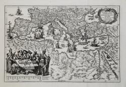
A very attractive map of the Mediterranean showing the countires bordering it with their respective cities. With depictions of warring battleships and an attractive vignette in the left hand corner showing geographers of various countries and races, disputing over the construction of a map of the Mediterranean.
Taken from Heinrich Scherer "Atlas Novus exhibens orbem terraguem per naturae opera, historiae navae acveterus monumenta, artistique geographicae leges et praecepta..".
Very good condition.
Henrick SCHERER (Dilingen 1628 - Monaco 1704)
|
Heinrich Scherer was a devout Jesuit, and professor of mathematics at Munich. His 'Atlas Novus' contained maps of all other parts which showed the spread of Catholicism and Jesuit missions.
|
Henrick SCHERER (Dilingen 1628 - Monaco 1704)
|
Heinrich Scherer was a devout Jesuit, and professor of mathematics at Munich. His 'Atlas Novus' contained maps of all other parts which showed the spread of Catholicism and Jesuit missions.
|