| Reference: | s27954 |
| Author | Johannes Baptiste VRIENTS |
| Year: | 1608 ca. |
| Zone: | The World |
| Printed: | Antwerpen |
| Measures: | 500 x 390 mm |
| Reference: | s27954 |
| Author | Johannes Baptiste VRIENTS |
| Year: | 1608 ca. |
| Zone: | The World |
| Printed: | Antwerpen |
| Measures: | 500 x 390 mm |
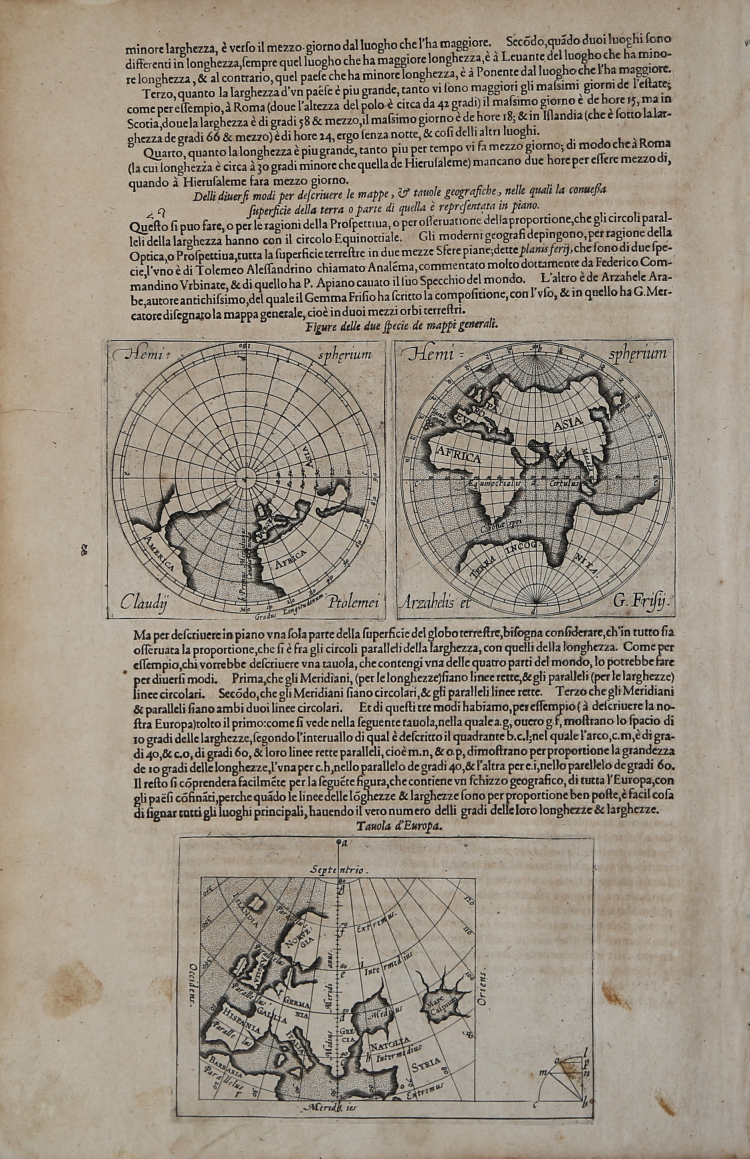
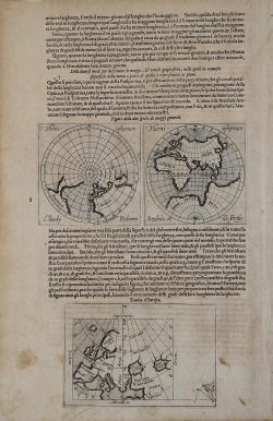
Foglio (cm 30X46) tratto dall'introduzione del Teatrum Orbis Terrarum di Ortelius, edizione italiana curata da Johannes Baptiste Vrients, con tre carte geografiche incise a dimostrazione dei diversi modi di rappresentare in piano la superficie terrestre.
Il Vrients, alla morte di Abrham Ortelius (1598) acquisto dalla tipografia Plantijn le lastre del Theatrum, che ristampò ampliandolo con proprie mappe.
Al centro della pagina, due diversi modi di rappresentare il planisfero (cm 11x11), secondo il sistema di Tolomeo, e secondo il sistema di Arzachele, nella traduzione di Gemma Friusius.
In basso, una Tavola d'Europa (cm 16,5x11), a illustrare la descrizione in piano di una parte specifica del globo terrestre.
Lievi ossidazioni, per il resto in ottime condizioni.
Johannes Baptiste VRIENTS (1552 - 1612)
|
Vrients was the map engraver and publisher in Antwerp who, after the death of Ortelius in 1598, acquired the publication rights of the Theatrum. Between 1601 and 1612 he issued a number of editions which included some of his own maps and he was responsible for printing the maps for the English edition in 1606. He also published a number of important individual maps and a small atlas of the Netherlands.
|