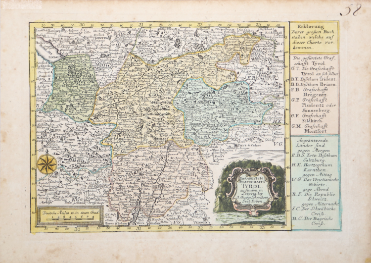
| Reference: | S9221 |
| Author | Johann George SCHREIBER |
| Year: | 1740 ca. |
| Zone: | Tyrol |
| Printed: | Leipzig |
| Measures: | 260 x 180 mm |
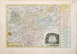
| Reference: | S9221 |
| Author | Johann George SCHREIBER |
| Year: | 1740 ca. |
| Zone: | Tyrol |
| Printed: | Leipzig |
| Measures: | 260 x 180 mm |
Map Taken form "Atlas selectus von allen Konigreichen und Landen der Welt".
This handsome little atlas includes 41 (of 42) decorative maps including a double hemisphere world, the continents, European countries, Germany with a table of distances, regional maps of Germany, the Russian Empire, the Black Sea and the Holy Land. Lacking the map of Schwabischer. The map of the Americas features the island of California. The maps include a text panel describing the region and decorative cartouches.
Phillips (Atlases) #610.
Johann George SCHREIBER (1676 - 1745)
|
Johann Georg Schreiber, a German cartographer and geographer, was born 1676 and lived in Leipzig. His only work was the "Atlas Selectus" published first 1740 and reissued 1749. He died in 1745.
|
Johann George SCHREIBER (1676 - 1745)
|
Johann Georg Schreiber, a German cartographer and geographer, was born 1676 and lived in Leipzig. His only work was the "Atlas Selectus" published first 1740 and reissued 1749. He died in 1745.
|