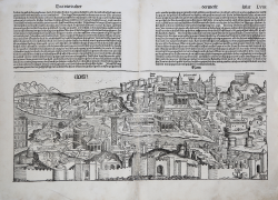
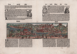
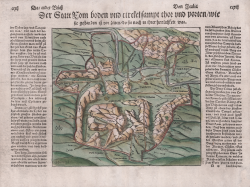
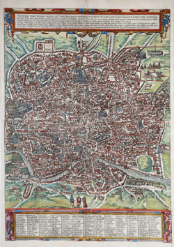
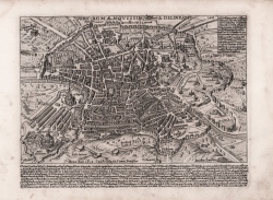
Der Statt Rom in aller Welt bekannt Contrashetung nach jetziger...
Sebastian Münster
Code:
S40351
Measures:
423 x 325 mm
Year:
1550 ca.
Printed:
Basle
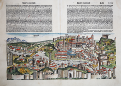
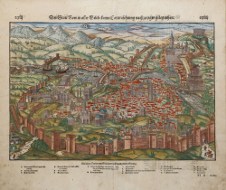
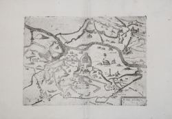
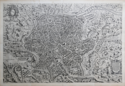
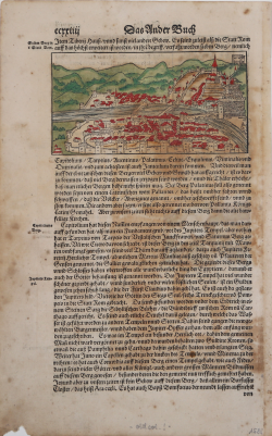
Der Statt Rom boden und circkel sampt der mauren und porten...
Sebastian Münster
Code:
S38892
Measures:
235 x 215 mm
Year:
1552 ca.
Printed:
Basle
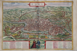
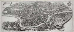
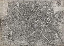
Roma
Georg BRAUN & Franz HOGENBERG
Code:
S21270
Measures:
485 x 335 mm
Year:
1572 ca.
Printed:
Antwerpen & Cologne
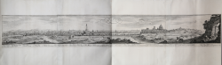
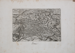
Urbis Romae Sciographia Ex Antiquis Monumentis Accuratiss Delineata
Etienne DUPERAC
Code:
S51905
Measures:
1540 x 1030 mm
Year:
1574 ca.
Printed:
Rome
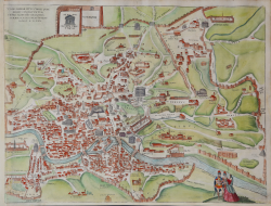
Urbis Romae Situs cum iis quae adhuc conspiciuntur...
Georg BRAUN & Franz HOGENBERG
Code:
S49238.24
Measures:
502 x 385 mm
Year:
1575 ca.
Printed:
Antwerpen & Cologne
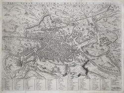
Nova Urbis Romae Descriptio Anni 1587
Ambrogio BRAMBILLA
Code:
S39442
Measures:
218 x 145 mm
Year:
1587
Printed:
Rome
Antiquae Urbis Roma Imago Accuratissima
Georg BRAUN & Franz HOGENBERG
Code:
S49238.8
Measures:
495 x 685 mm
Year:
1588
Printed:
Antwerpen & Cologne
Urbis Romae Novissima Delineatio MDCL
Giovanni Battista de’ CAVALIERI
Code:
S40344
Measures:
530 x 400 mm
Year:
1589
Printed:
Rome
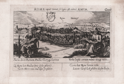
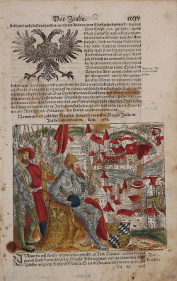
Roma caput terrae, si legis, est, retrò, Amor.
Daniel MEISNER
Code:
s23013
Measures:
150 x 100 mm
Year:
1623
Printed:
Nurnberg
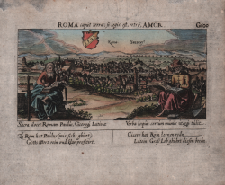
Roma caput terrae, si legis, est, retrò, Amor
Daniel MEISNER
Code:
S48886
Measures:
150 x 100 mm
Year:
1623
Printed:
Nurnberg