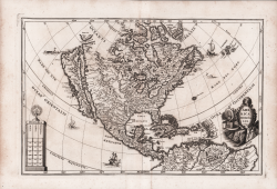
Descrittione dell'isola & Terra di Santa Croce, overo Mondo Nuovo Tommaso PORCACCHI Code: S45914 Measures: 145 x 110 mm Year: 1572 ca. Printed: Venice Price Not Available Quick view View Details
Nova et Accvrata Poli Artici et Terrarum Circum Iacentium Descriptio Johannes JANSSONIUS Code: W12762 Measures: 540 x 420 mm Year: 1637 ca. Printed: Amsterdam Price €1,000.00 Quick view View Details
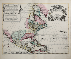
L'America Settentrionale Giovanni Giacomo DE ROSSI Code: ms6098 Measures: 560 x 410 mm Year: 1677 Printed: Rome Price €1,900.00 Quick view View Details
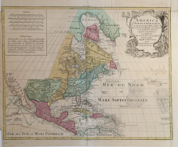
America Septentrionalis Tipografia Valck & Schenk Code: ms5037 Measures: 540 x 460 mm Year: 1694 ca. Printed: Amsterdam Price Not Available Quick view View Details
America Borealis 1699 Henrick SCHERER Code: s34945 Measures: 361 x 240 mm Year: 1699 Printed: Munich Price €750.00 Quick view View Details
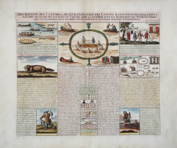
Description des Castors & de leur Industrie, des Canots,... Henri Abraham CHATELAIN Code: MS6590 Measures: 440 x 380 mm Year: 1708 ca. Printed: Amsterdam Price €375.00 Quick view View Details
L'Amerique Septentrionale… Pieter SCHENK Code: S39550 Measures: 590 x 455 mm Year: 1708 Printed: Amsterdam Price €900.00 Quick view View Details
America Septentrionalis.. Tobias Conrad LOTTER Code: mms2025 Measures: 590 x 460 mm Year: 1762 ca. Printed: Augsburg Price €1,000.00 Quick view View Details
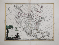
America Settentrionale divisa ne' suoi principali Stati Antonio ZATTA Code: ms4152 Measures: 420 x 330 mm Year: 1780 ca. Printed: Venice Price €650.00 Quick view View Details
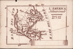
L'America Settentrionale Pietro Zancon Code: S40917 Measures: 100 x 70 mm Year: 1794 Printed: Venice Price €1,000.00 Quick view View Details
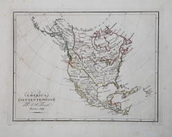
America Settentrionale Bartolomeo BORGHI Code: ms7892 Measures: 320 x 240 mm Year: 1819 Printed: Florence Price €150.00 Quick view View Details
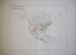
Circoscrizione delle Province Eccles.che e Vicariati Apostolici... Girolamo PETRI Code: ms7709 Measures: 575 x 450 mm Year: 1858 ca. Printed: Rome Price €300.00 Quick view View Details