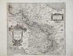
Contado di Molise & Principato Ultra Giovanni Antonio MAGINI Code: S41001 Measures: 425 x 375 mm Year: 1602 ca. Printed: Bologna Price €325.00 Quick view View Details
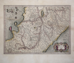
Abruzzo et Terra di Lavoro. Gerard MERCATOR (Kremer) Code: S40175 Measures: 490 x 355 mm Year: 1619 Printed: Amsterdam Price €450.00 Quick view View Details
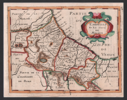
L'Abruzzo et Le Conté de Molisse Philippe BRIET Code: s29573 Measures: 200 x 160 mm Year: 1649 Printed: Paris Price €225.00 Quick view View Details
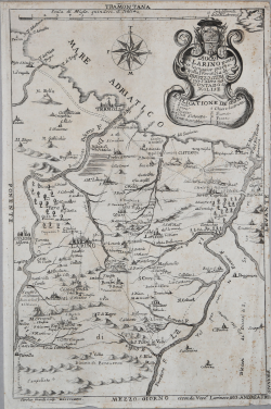
Diocesi di Larino posta per la magior parte nella Provincia di... Giovanni Andrea TRIA Code: S7668 Measures: 260 x 395 mm Year: 1744 Printed: Rome Price €325.00 Quick view View Details
Terra di Lavoro e Contea del Molise Antonio ZATTA Code: s211930 Measures: 390 x 500 mm Year: 1783 Printed: Venice Price €280.00 Quick view View Details
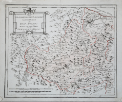
Neapolitani schen Landschaft Capitanata... Franz Johann von REILLY Code: S10232 Measures: 340 x 280 mm Year: 1791 Printed: Wien Price €125.00 Quick view View Details
Neapolitanischen Landschaft Capitanata oder West Apuliens... Franz Johann von REILLY Code: S29452 Measures: 340 x 285 mm Year: 1791 Printed: Wien Price €180.00 Quick view View Details
Contado di Molise Giuseppe Maria ALFANO Code: S39847 Measures: 445 x 355 mm Year: 1794 Printed: Naples Price €400.00 Quick view View Details
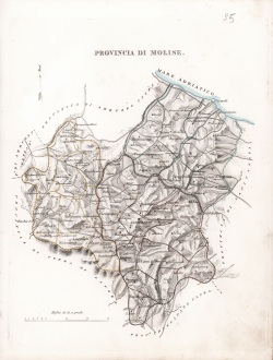
Provincia di Molise Giuseppe Bifezzi Code: S43902 Measures: 180 x 230 mm Year: 1837 Price €350.00 Quick view View Details
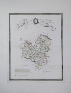
Provincia di Molise Gabriello DE SANCTIS Code: s30791 Measures: 400 x 460 mm Year: 1844 Printed: Naples Price €250.00 Quick view View Details
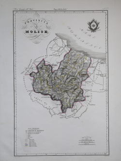
Provincia di Molise Attilio ZUCCAGNI ORLANDINI Code: s41722.117 Measures: 340 x 520 mm Year: 1844 Printed: Florence Price €150.00 Quick view View Details
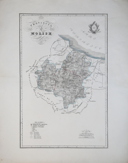
Provincia di Molise Filippo CIRELLI Code: S43370 Measures: 338 x 520 mm Year: 1854 ca. Price €350.00 Quick view View Details
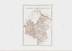
Carta Corografica di Molise Gabriello DE SANCTIS Code: S45578 Measures: 190 x 260 mm Year: 1856 Printed: Naples Price €150.00 Quick view View Details