Valle dell'Aniene
Valle dell'Aniene
Sort by:
Showing 1-8 of 8 item(s)
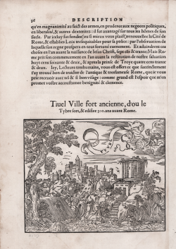
Guillaume GUEROULT
Code:
s22260
Measures:
160 x 130 mm
Year:
1553 ca.
Printed:
Lyon
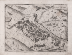
Paolo FORLANI
Code:
S829
Measures:
290 x 220 mm
Year:
1567
Printed:
Venice
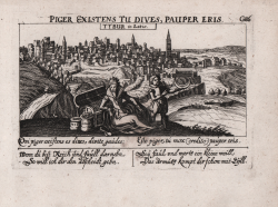
Daniel MEISNER
Code:
s23025
Measures:
150 x 100 mm
Year:
1678 ca.
Printed:
Nurnberg
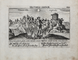
Daniel MEISNER
Code:
s23037
Measures:
150 x 100 mm
Year:
1678
Printed:
Nurnberg
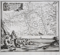
Franciscus HALMA
Code:
CO-048
Measures:
390 x 335 mm
Year:
1704
Printed:
Amsterdam
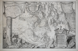
Diego de Revillas
Code:
S40829
Measures:
685 x 450 mm
Year:
1739
Printed:
Rome
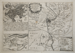
Pietro Leone Bombelli
Code:
S39290
Measures:
420 x 290 mm
Year:
1778
Printed:
Rome
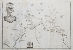
Giovanni PETROSCHI
Code:
S113000
Measures:
392 x 275 mm
Year:
1784 ca.
Printed:
Rome