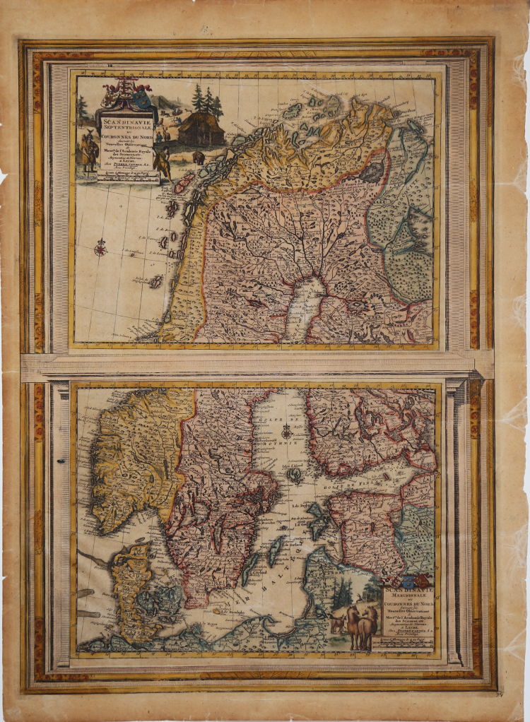

| Reference: | s24209 |
| Author | Pieter VANDER AA |
| Year: | 1713 |
| Zone: | Scandinavia |
| Printed: | Leyden |
| Measures: | 390 x 530 mm |
| Reference: | s24209 |
| Author | Pieter VANDER AA |
| Year: | 1713 |
| Zone: | Scandinavia |
| Printed: | Leyden |
| Measures: | 390 x 530 mm |
The card is enclosed in a decorative frame. It was part of the Galerie agreable du Monde, the famous Atlas Vander Aa, completed in 1729 and comprising more than 3000 maps.
Pieter VANDER AA (1659 - 1733)
|
Records show that van der Aa, born in Leyden in 1659, made an early start in life by being apprenticed to a bookseller at the age of nine and starting on his own in business as a book publisher by the time he was twenty-three.
During the following fifty years he published an enormous amount of material, including atlases and illustrated works in every shape and size, two of them consisting of no less than 27 and 28 volumes containing over 3,000 maps and plates.
Most of his maps were not of the first quality and were certainly not original, but they are often very decorative and are collected on that account.
|