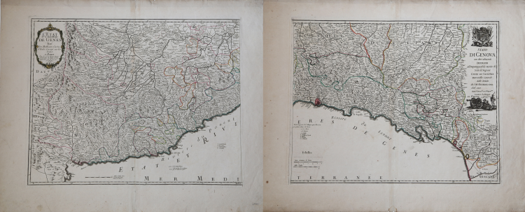
| Reference: | S2065 |
| Author | Georg Louis le ROUGE |
| Year: | 1747 |
| Zone: | Liguria |
| Printed: | Paris |
| Measures: | 1120 x 450 mm |
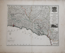
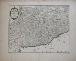
| Reference: | S2065 |
| Author | Georg Louis le ROUGE |
| Year: | 1747 |
| Zone: | Liguria |
| Printed: | Paris |
| Measures: | 1120 x 450 mm |
Taken from the "Atlas General" published in Paris between 1741 and 1762.
Printed on two different sheets.
Georg Louis le ROUGE (1721-1790 circa)
|
A military engineer by profession, Le Rouge took up cartography and over a long period from about 1740 to 1780 produced many attractive works covering a wide range of subjects, including plans of fortifications, military campaigns, town plans as well as the more usual atlases and sea charts.
1741-62 Atlas General
1742 Recueil des cartes Nouvelles (including a reissue on reduced scale of Henry Popple’s map of America of 1733)
1748 Atlas Nouveau Portatif (4to)
1756,c.1767 re-issued
1755 Recueil des Plans de l’ Amerique(8vo)
1756 Introduction de Geographie
1758 Atlas Prussien
1759 recueil des villes ,portes d’ Angleterre (8vo)
1760 Topographie des Chemins d’ Angleterre (8vo)
1778 Atlas Ameriquain Septentrional
|