| Reference: | s0003 |
| Author | Peter H. MEURER |
| Year: | 2005 |
| Zone: | - |
| Measures: | 230 x 340 mm |
2o (34 cm), 206 pp. Publisher's cloth (lite shelf wear). Descriptions and reproductions of 191 maps from a composite atlas compiled at Venice in the second half of 16th century probably in the shop of Fernando Bertelli under the "Sign of San Marco". In the atlas were included unrecorded 15 historical maps prepared by Giacomo Gastaldi (c. 1500 -- 1566), a Venetian cartographer, for an edition of Strabo' Geography
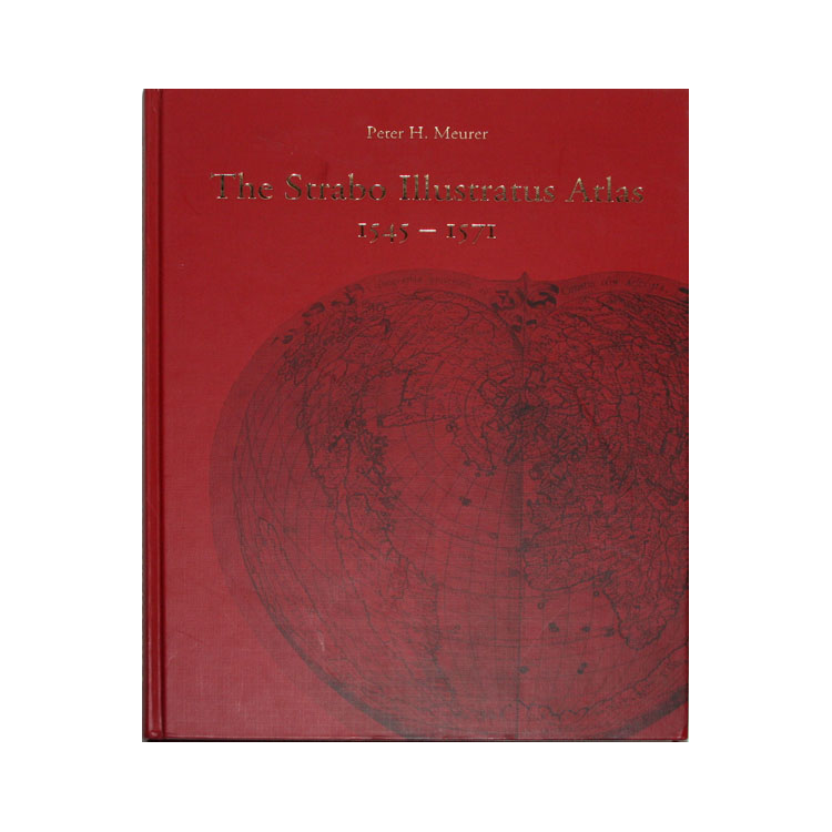
The Strabo Illustratus Atlas 1545-1571. A unique sixteenth century composite atlas from the House of Bertelli in Venice.
Author: Peter H. Meurer
Edited by Paul Haas, Stephan Haas, Didier Le Bail and Friedrich Weissert.
ISBN-10 : 3000136258
ISBN-13 : 978-3000136252
Weight : 1.6 kg
2o (34 cm), 206 pp. Publisher's cloth (lite shelf wear).
Descriptions and reproductions of 191 maps from a composite atlas compiled at Venice in the second half of 16th century probably in the shop of Fernando Bertelli under the "Sign of San Marco". In the atlas were included unrecorded 15 historical maps prepared by Giacomo Gastaldi (c. 1500 -- 1566), a Venetian cartographer, for an edition of Strabo' Geography.
Peter H. MEURER
Peter H. MEURER