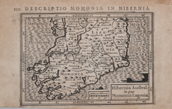
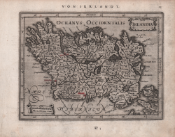
Hibernia Austral. In qua Momonia..
Jodocus HONDIUS Jr.
Code:
MS1827
Measures:
135 x 95 mm
Year:
1616 ca.
Printed:
Amsterdam
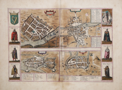
Golwaye / Dubline / Lymericke / Corcke
Georg BRAUN & Franz HOGENBERG
Code:
S46058
Measures:
435 x 305 mm
Year:
1618
Printed:
Cologne
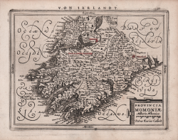
Provincia Momoniae
Johannes JANSSONIUS
Code:
S48127
Measures:
207 x 160 mm
Year:
1628 ca.
Printed:
Amsterdam
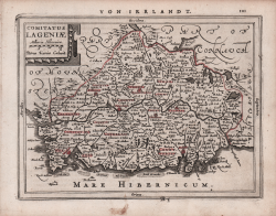
Comitatus Lageniae
Johannes JANSSONIUS
Code:
S48128
Measures:
205 x 155 mm
Year:
1628 ca.
Printed:
Amsterdam
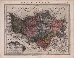
Provinciae Connachtiae
Johannes JANSSONIUS
Code:
S48129
Measures:
207 x 160 mm
Year:
1628 ca.
Printed:
Amsterdam
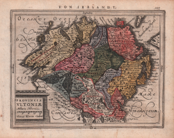
Provincia Ultoniae
Johannes JANSSONIUS
Code:
S48130
Measures:
200 x 155 mm
Year:
1628 ca.
Printed:
Amsterdam
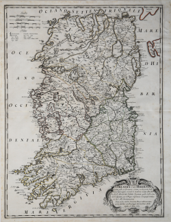
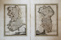
L'Irlanda o' uero Hibernia
Giovanni Giacomo DE ROSSI
Code:
ms6093
Measures:
440 x 585 mm
Year:
1689
Printed:
Rome
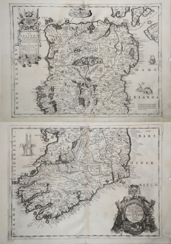
Parte Settentrionale dell'Irlanda & Parte Meridionale dell'Irlanda
Vincenzo CORONELLI
Code:
mms846
Measures:
610 x 460 mm
Year:
1690 ca.
Printed:
Venice
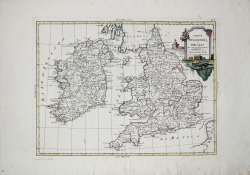
Li Regni d'Inghilterra e d'Irlanda Di nuova Proiezione
Antonio ZATTA
Code:
s14042
Measures:
405 x 310 mm
Year:
1776 ca.
Printed:
Venice
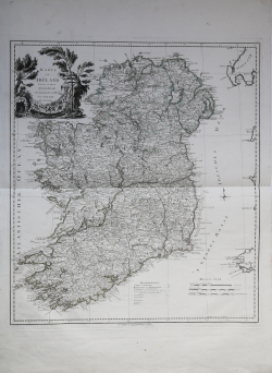
Karte von Ireland
Franz Anton SCHRAEMBL
Code:
ms2836
Measures:
580 x 660 mm
Year:
1787 ca.
Printed:
Nurnberg
La parte occidentale & La parte orientale della Irlanda…
Giovanni Maria CASSINI
Code:
s31462
Measures:
355 x 490 mm
Year:
1795
Printed:
Rome