
| Reference: | S378620 |
| Author | Didier Robert de VAUGONDY |
| Year: | 1749 |
| Zone: | East Indies |
| Printed: | Paris |
| Measures: | 208 x 178 mm |
| Reference: | S378620 |
| Author | Didier Robert de VAUGONDY |
| Year: | 1749 |
| Zone: | East Indies |
| Printed: | Paris |
| Measures: | 208 x 178 mm |
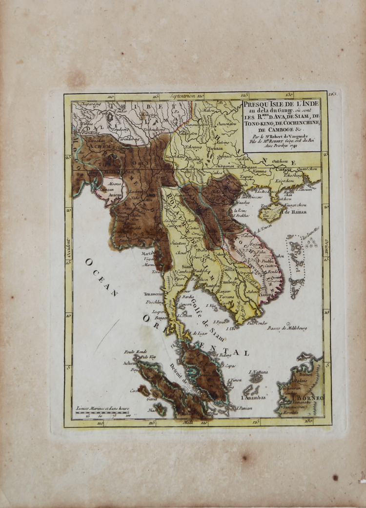
Small detailed map of southeast Asia.
From Atlas Portatif Universel, by Robert de Vaugondy.
Very crisp and fine image. In good condition.
Didier Robert de VAUGONDY (1723 ca. - 1786)
|
Didier Robert de Vaugondy (1723-1786) was appointed Geographer to Louis XV in 1760. At the same time, de Vaugondy served as Geographer to the Duke of Lorraine and Bar, father-in-law to Louis XV and former King of Poland.
His major contributions to French cartography are the Atlas Universel, 1750-57, The Nouvelle Atlas Portatif (1784) and a very popular map of North America published in 1761. He was son of Gilles Robert de Vaugondy who succeeded Pierre Sanson as the King's Geographer.
|